
Jump to content
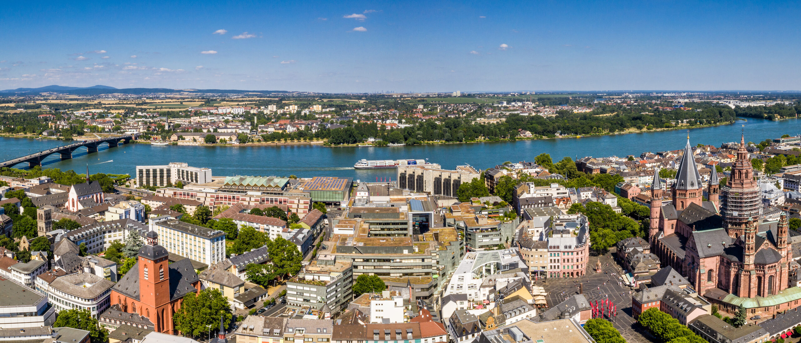
Drone image Mainz
Land use plan

Foreword

The state capital of Mainz would like to make the land use plan available to citizens, interested authorities, and planners in addition to the development plans. Until now, changes to the land use plan could be viewed on the Internet, but not the entire plan. The information available will therefore be expanded with this additional service.

The land use plan for the city of Mainz came into effect on May 24, 2000. Since then, in addition to the completed amendment procedures, numerous editorial corrections have been made to the presentations and informational entries based on current laws and resolutions on planning objectives. With regard to actual use, it was also necessary to supplement and adapt the plan to the actual existing inventory. All these specifications were summarized in an editorial update of the land use plan in 2004 for the first time and in 2010 for the second time.

Explanations and notes

Picture credits

Sprachauswahl

Quick search

This website was automatically translated using AI

This website was automatically translated by DeepL's AI. It is possible that the machine translations may not fully correspond to the original text. The State Capital of Mainz assumes no liability for the accuracy, completeness, or timeliness of the translations. Furthermore, there is no guarantee that all content on mainz.de will be fully translated —for example, applications integrated as i-frames (such as “Lost and Found Online”), content embedded via interfaces (such as the events calendar), and files (e.g., PDFs, images, graphics) may not be translated. No liability is assumed for damages resulting from missing, incomplete, or incorrect translations.

When accessing the pages, personal data remains anonymous, as no data is transmitted to the service provider. The translated content is stored locally on the web server of the State Capital of Mainz and made available directly from there.