Jump to content
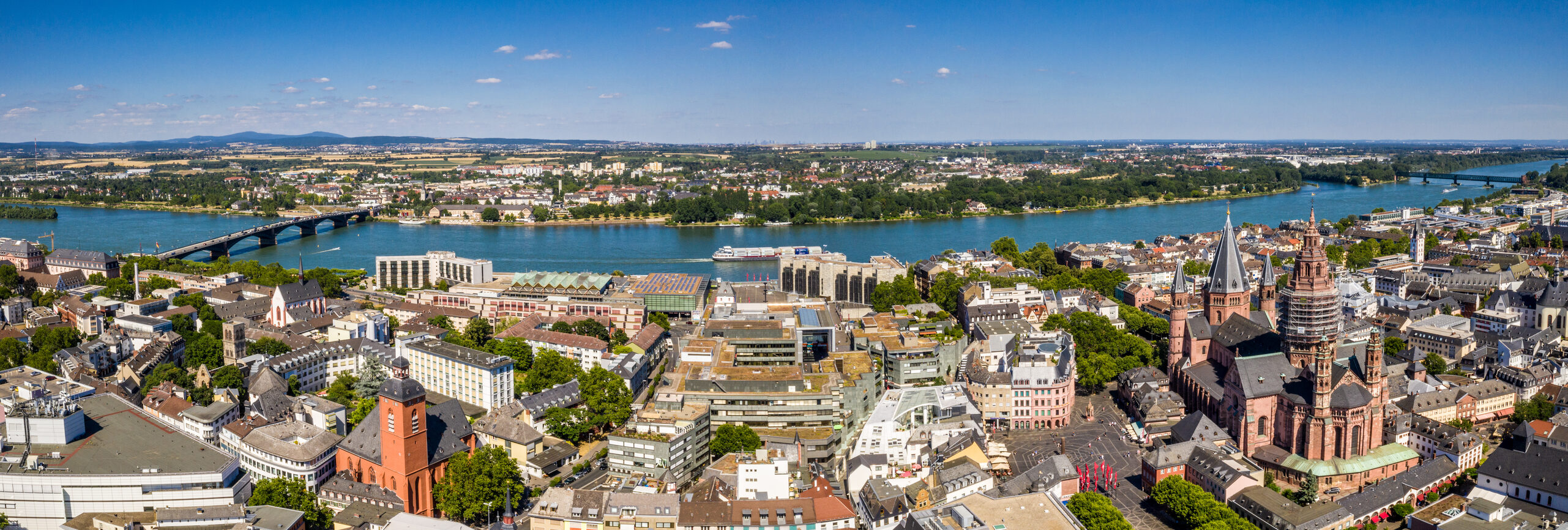
Drone images 2019
Development plans

Map section

The overview of Mainz's development plans shown in the map section of this website displays both older analog plans and newer digitally created plans in a variety of graphic formats.

Once you have selected the desired development plan using one of the methods described under Help and Notes, it will be enlarged on the screen, regardless of whether it is a digital or analog plan, along with its area of application and plan statistics.

While you can also view a digitally available development plan as a legal plan with textual specifications and justifications directly on the screen and save it on your PC, analog development plans are only displayed with their scope of application and plan statistics.

Explanations and notes

Picture credits

Sprachauswahl

Quick search

This website was automatically translated using AI

This website was automatically translated by DeepL's AI. It is possible that the machine translations may not fully correspond to the original text. The State Capital of Mainz assumes no liability for the accuracy, completeness, or timeliness of the translations. Furthermore, there is no guarantee that all content on mainz.de will be fully translated —for example, applications integrated as i-frames (such as “Lost and Found Online”), content embedded via interfaces (such as the events calendar), and files (e.g., PDFs, images, graphics) may not be translated. No liability is assumed for damages resulting from missing, incomplete, or incorrect translations.

When accessing the pages, personal data remains anonymous, as no data is transmitted to the service provider. The translated content is stored locally on the web server of the State Capital of Mainz and made available directly from there.