Jump to content
Map section focus area map

Theme cards

Spatial impact - relevant areas shown in thematic maps

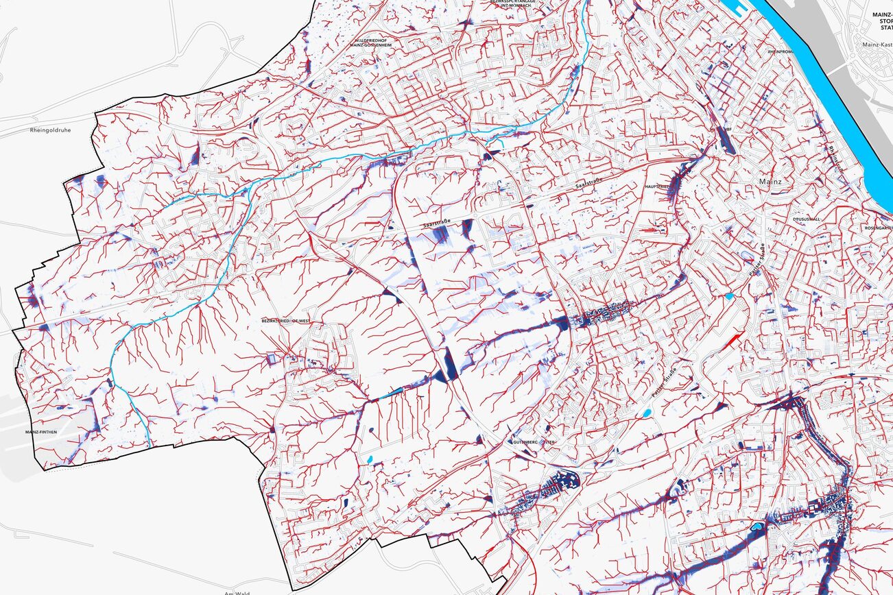
The city of Mainz faces a variety of challenges due to climate change. In order to better understand these challenges and develop effective measures, spatial analyses were carried out, the results of which are presented in thematic maps. These maps provide detailed insights into the effects of climate change on the city and serve as a basis for planning decisions.

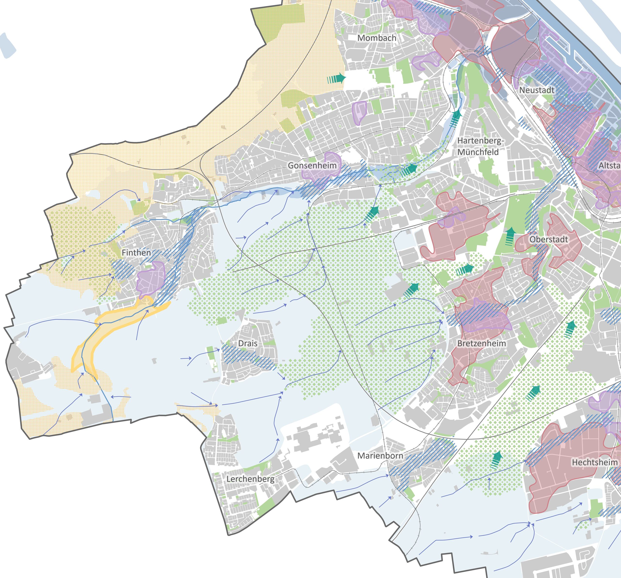
The maps visualize climatic influences such as heat, drought, heavy rainfall, and flooding, as well as their consequences. A total of nine thematic maps are available. An overarching focus area map summarizes the areas that are particularly affected in order to define priority areas for action.

The thematic maps are based on expert reports and geodata available at the city, state, or federal level. To this end, the results and geodata for the various topics were processed and summarized.

Further information

Explanations and notes

Picture credits

Sprachauswahl

Quick search

This website was automatically translated using AI

This website was automatically translated by DeepL's AI. It is possible that the machine translations may not fully correspond to the original text. The State Capital of Mainz assumes no liability for the accuracy, completeness, or timeliness of the translations. Furthermore, there is no guarantee that all content on mainz.de will be fully translated —for example, applications integrated as i-frames (such as “Lost and Found Online”), content embedded via interfaces (such as the events calendar), and files (e.g., PDFs, images, graphics) may not be translated. No liability is assumed for damages resulting from missing, incomplete, or incorrect translations.

When accessing the pages, personal data remains anonymous, as no data is transmitted to the service provider. The translated content is stored locally on the web server of the State Capital of Mainz and made available directly from there.